15 Spectacular Sites in Death Valley

DEATH VALLEY TRAVEL GUIDE
If you haven’t been to Death Valley National Park, you’re missing out! It’s one of my favorite national parks and there is so much to see and do. I’ve been lucky to visit a few times, and I feel as though I’ve only scratched the surface. Assuming you want to get out of your car and experience the park, I would recommend at least 2 full days, but 4+ days would be better!
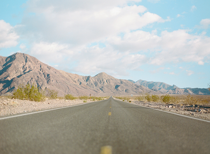
Death Valley is incredibly vast and driving distances are long, so I recommend planning your trip by grouping things in similar areas. I also recommend staying in the park, if possible. Stovepipe Wells is well located and the adjacent restaurant and convenience store offer handy places to eat. I haven’t stayed here, but Furnace Creek is also well located. If you’re traveling during peak travel times and accommodations aren’t available, there are several hotel options in Beatty, Nevada.
From north, working south:
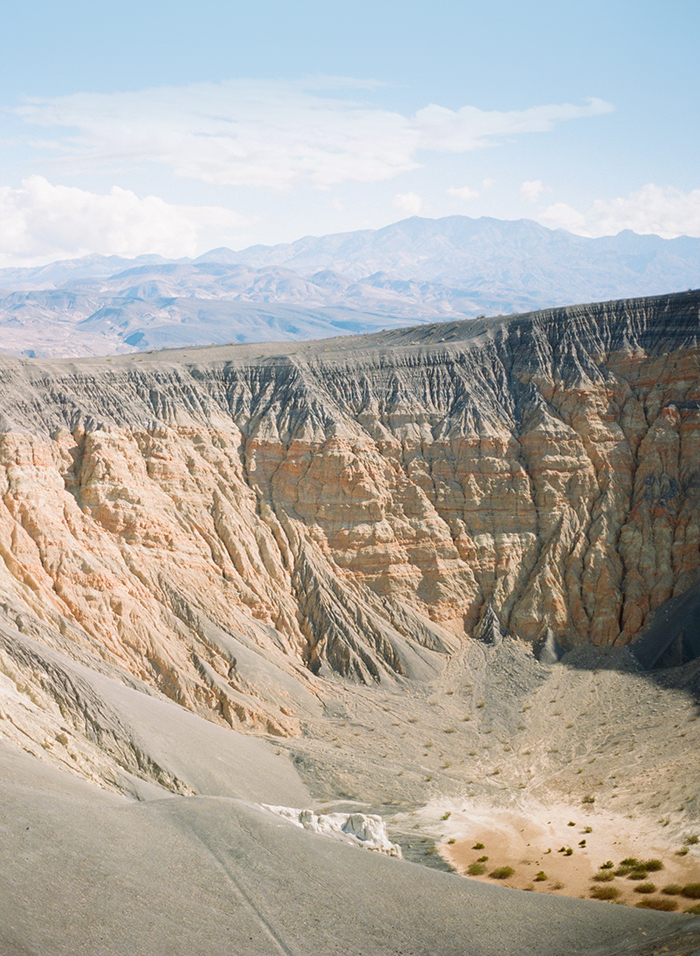
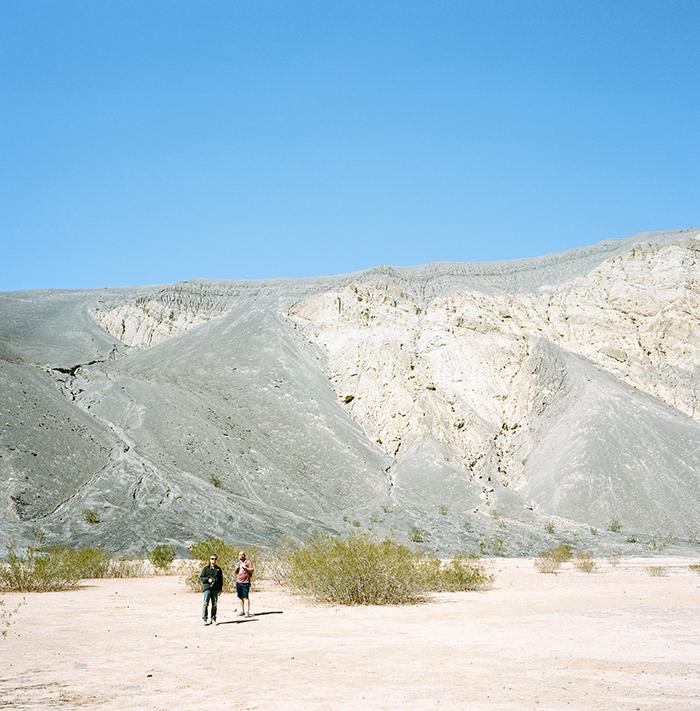
1. Ubehebe Crater. This windy site is well worth a visit to see the crater, and Little Hebe too! You can hike 1.5 miles around the rim, or down to the base of the crater through volcanic ash. We jogged down, mainly just to get out of the violent winds. The hike up was slightly challenging, but very short.
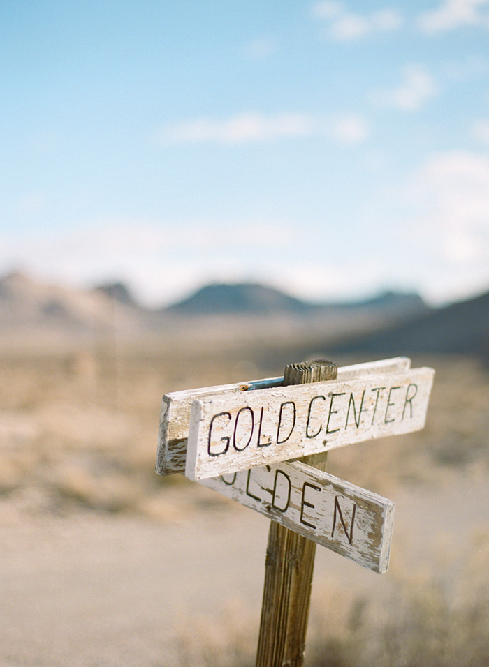
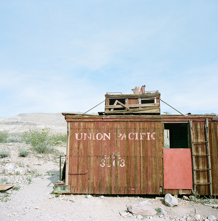
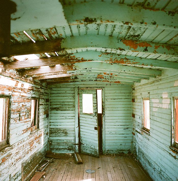
2. Rhyolite Ghost Town. This ghost town is a short and beautiful drive from park limits. Or, if you stay in Beatty, Nevada, you’ll pass Rhyolite on your way into Death Valley.
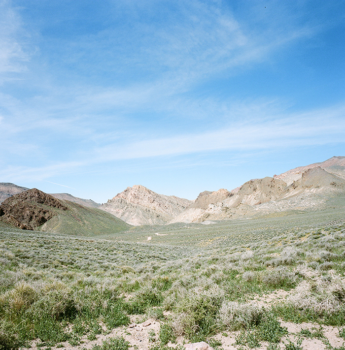
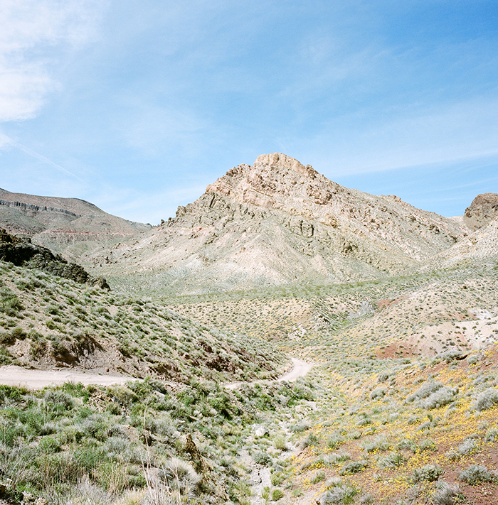
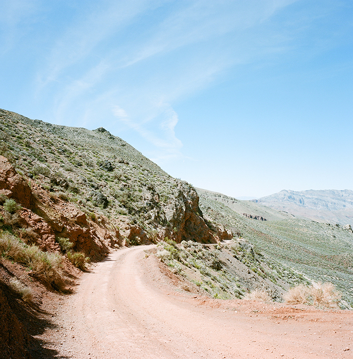
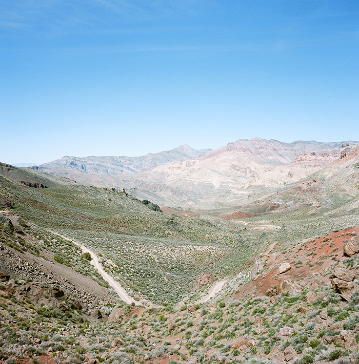
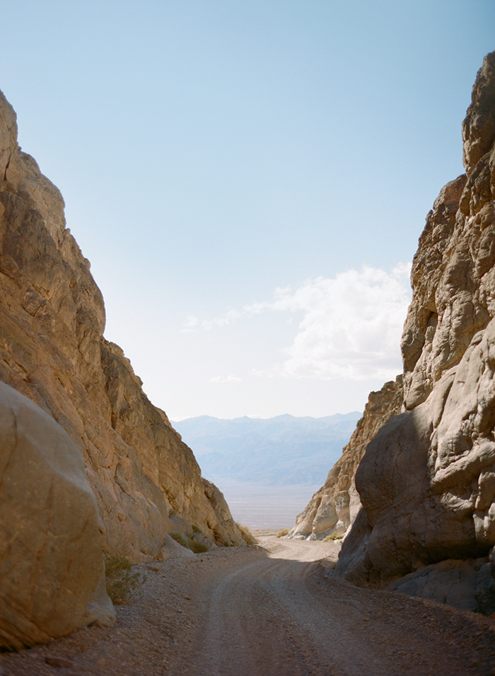
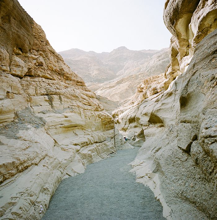
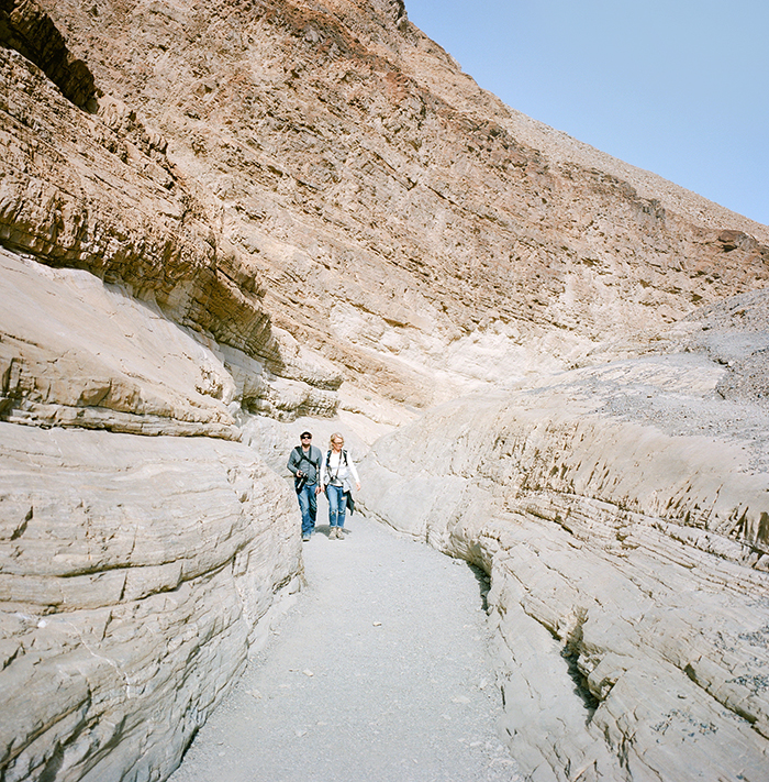
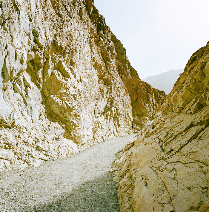
3. Drive Titus Canyon. High clearance vehicles are recommended, so plan ahead. We did this one-way, dirt/gravel drive with a small, 2 wheel drive SUV and made it, but some areas were a bit rough. We saw a family of four in a Toyota Camry, but they had to get out and push through some of the deeper potholes! This drive is absolutely spectacular and though it’s only 26 miles, I would allow at least 3+ hours to make stops. There is even a ghost town (Leadville) along the way.
4. Fall Canyon. This canyon shares a parking lot with the end of Titus Canyon. If you’re unable to drive Titus, you can also hike in on foot, or alternately hike Fall Canyon. Like all of the canyons, you can hike in as far as you wish- we did about 2.5 miles each way. This was a wider canyon, no rock scrambling required. A cool hike, but not my favorite. If I only had time for one canyon, I’d do Desolation or Mosaic.
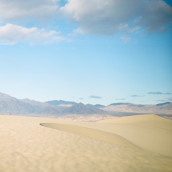
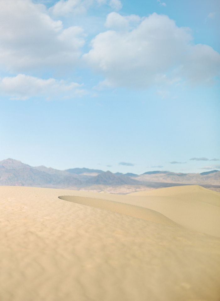
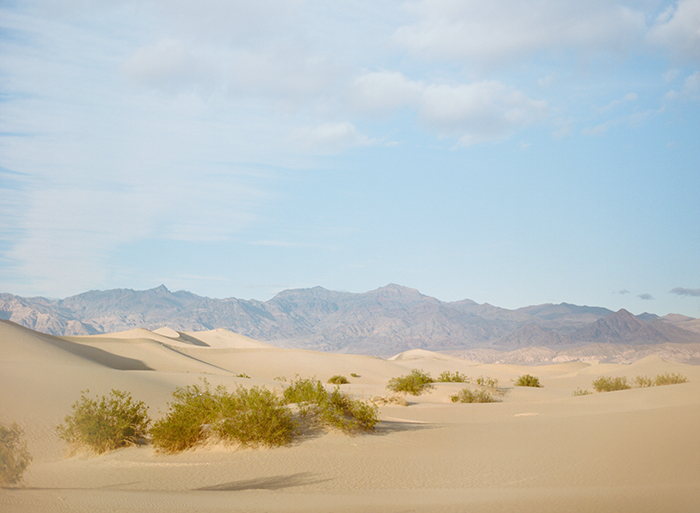
5. Mesquite Dunes. The adventure just doesn’t stop in Death Valley! These magical and shifting sand dunes are so much fun to explore. You’ll feel like you’re in the Sahara desert. Just park your car in the lot, and walk wherever you like. The highest point is constantly shifting, but it’s about 2 miles one way from the parking area. I loved walking along the ridges. We saw people sliding down on makeshift cardboard sleds, which looked hella fun!
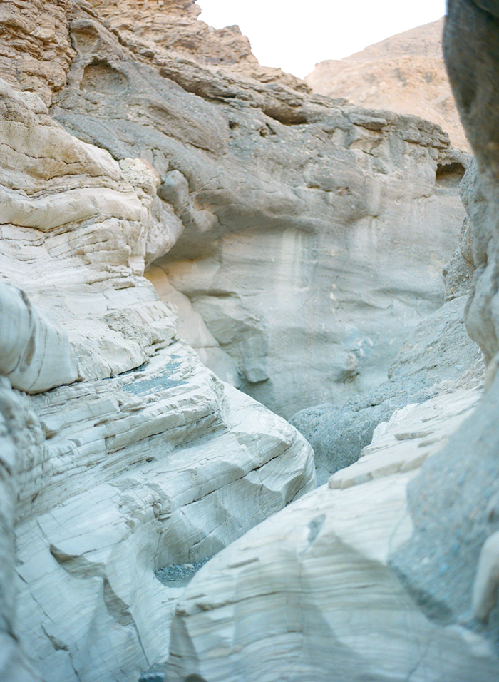
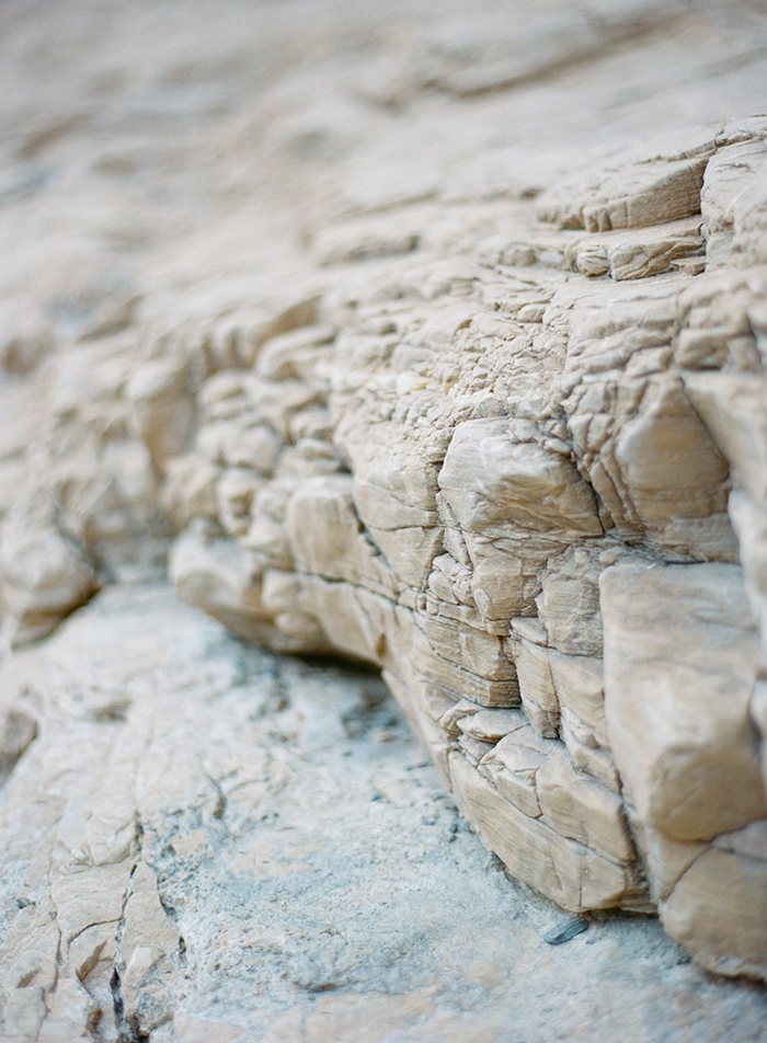
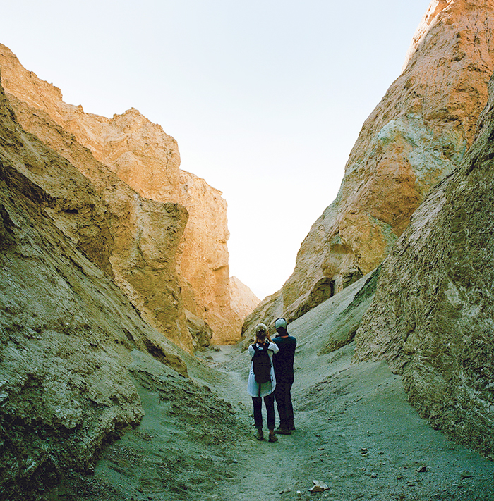
6. Hike Mosaic Canyon. Mosaic is a beautiful, colorful canyon that is narrow in spots and requires minimal rock scrambling. I’ve done it twice and I highly recommend going in early morning (think sunrise) for more vibrant colors. It’s about 2 miles (one way) to a rock fall that appears to be the end, but if you hike up the canyon walls (look for foot paths on your right) you can continue past the rock fall.
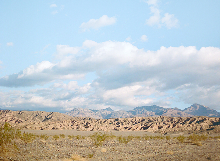
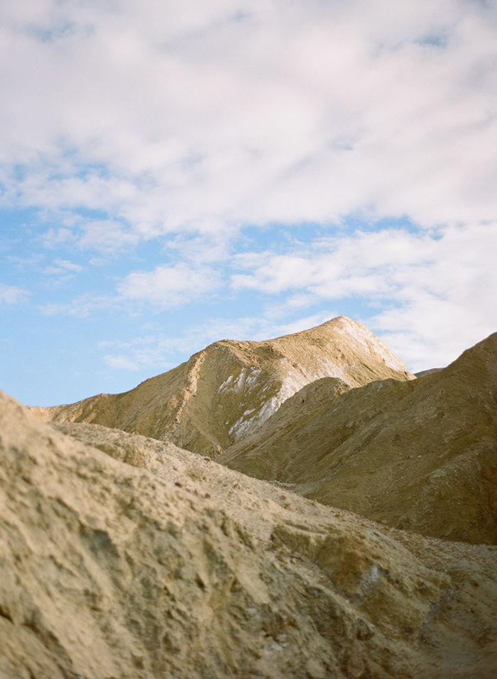
7. Zabriskie Point. Zabriskie Point is a breathtaking viewing area. Park in the large lot, and head up the short paved path for sweeping panoramas of the area. Like many areas of Death Valley, you can view from here, or if you scan the landscape you’ll see many social foot paths worn into the dusty landscape. Take some time to explore here. This is yet another spot that is beautiful at sunset.

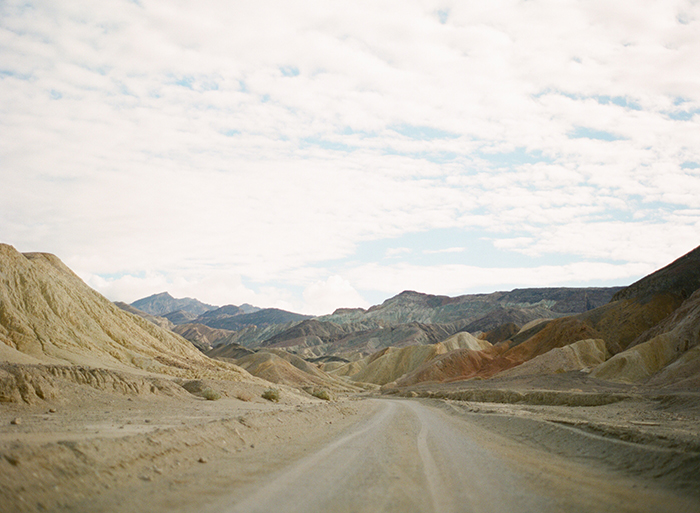
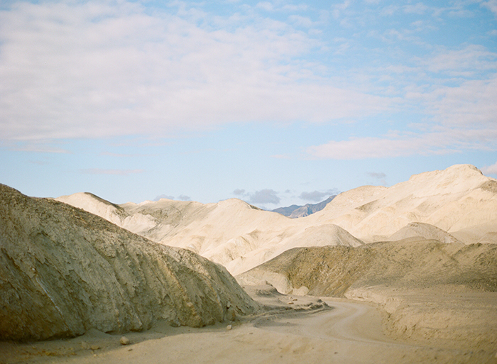
8. Drive Twenty Mule Team Canyon Road. This 2.8 mile curvy, dirt road is short, but spectacular. Any ol’ rental could easily drive this road. Take it slow and enjoy the views all around you.
9. Furnace Creek Visitor Center. Worth a quick stop to pick up maps and ask the rangers questions. Inquire if there are any special ranger-led hikes during your visit. We did a nighttime guided hike through Badwater Basin during a full moon that was fun, interesting, and free.
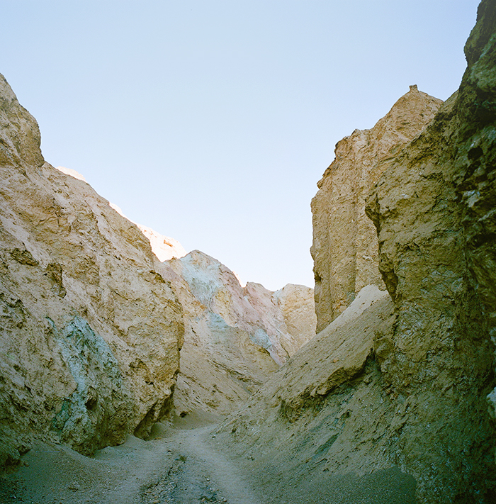
10. Hike Golden Canyon. Right off of Badwater Road, marked with signage. A short road and parking area lead you right to the edge of the canyon. Simply follow it in and hike as far as you’d like. This canyon is known for it’s colorful red walls. We didn’t make it very far, as there was a wind advisory the day we visited, but the beginning was beautiful and it seemed to be a very popular hike.
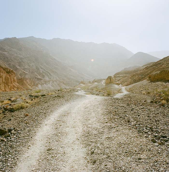
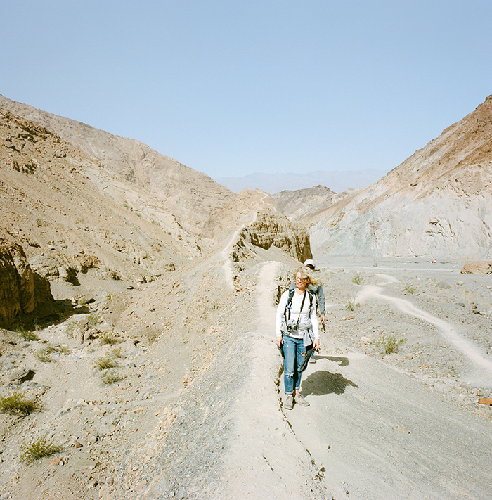
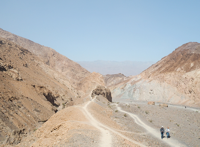
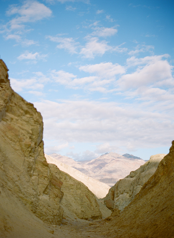
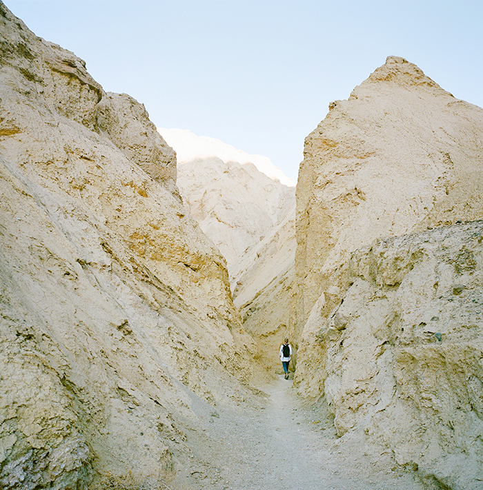
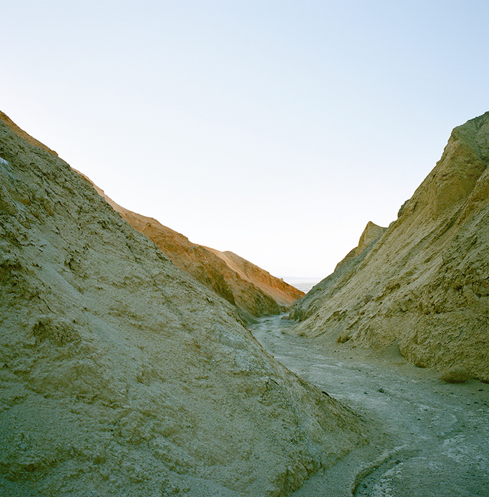
11. Hike Desolation Canyon. Perhaps by favorite spot in all of Death Valley! The start of the hike is off a dirt road with zero signage, so it can be a bit tricky to find, but it’s well worth the effort. From the makeshift parking area, the first half mile or so is a bit boring – just an open wash with zero shade – but trust me; KEEP GOING. Once you hit the canyon walls, the views change dramatically. The colorful badlands and narrow passages are incredible. Some easy rock scrambling is required. We went in about 1.9 miles before turning around and heading out. Like many of the canyons, you can hike in as much or as little as you like, there’s not really an obvious ending point. I highly recommend this hike in the late afternoon or close to sunset.

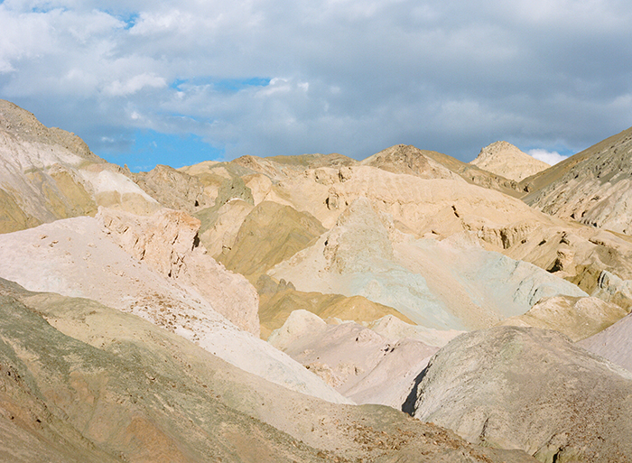
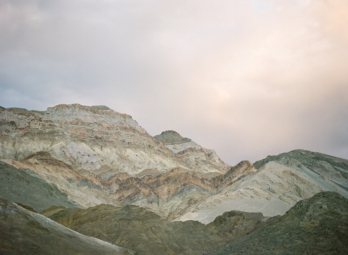
12. Artist’s Drive & Artist’s Palette. It was a picture of Artist’s Palette on Instagram that inspired my first trip to Death Valley. The drive along a beautiful, windy, one-way road, leads to Artist’s Palette, a mountainscape of multi-hued rock. From the parking area you can explore the social paths on foot or if you have mobility issues, the view from the parking lot is spectacular. Like many areas of Death Valley, I think it’s best viewed in the late afternoon or sunset light.
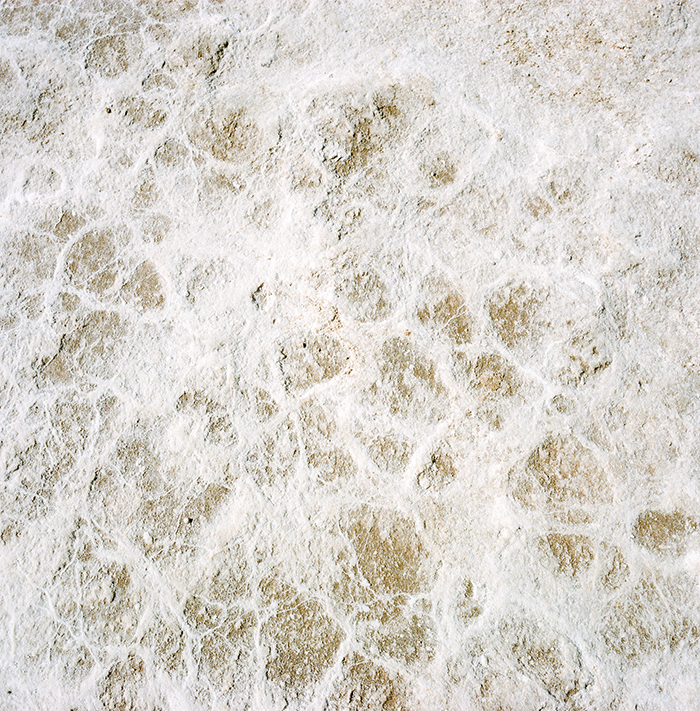
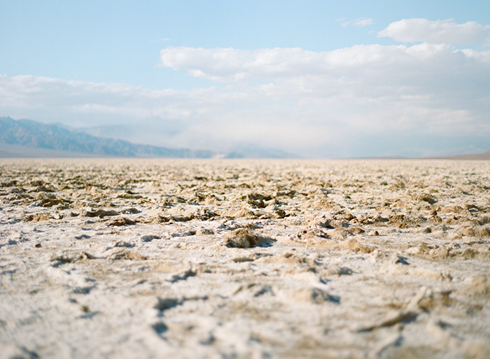
13. Devil’s Golf Course. A unique and otherworldly salt flat. This is an easy drive from Badwater Road and the parking lot is in the middle of the “golf course.” You could wander out and explore here, but no hiking required.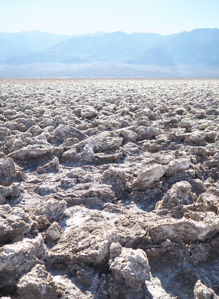
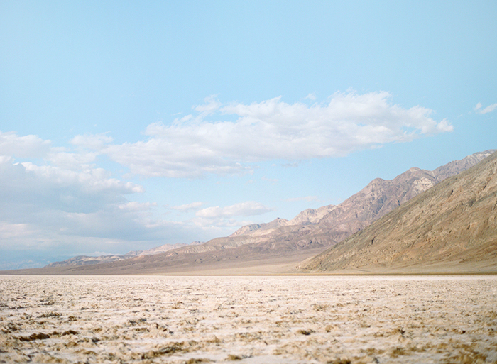
14. Explore Badwater Basin. The lowest point in the United States. Explore the area and hike out as far as you want. As you’re walking back towards the parking lot, look for the “sea level” sign in the mountain face across the road and marvel at how low you really are.
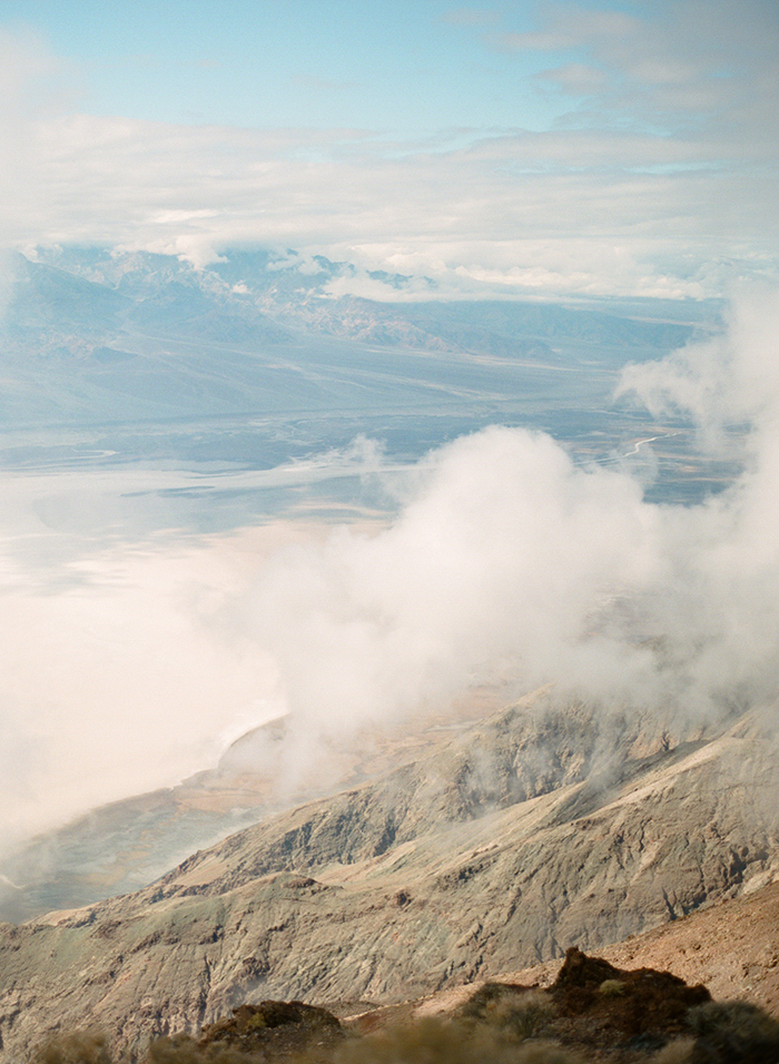
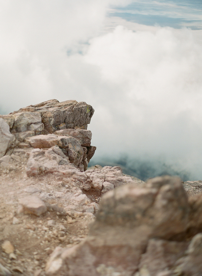
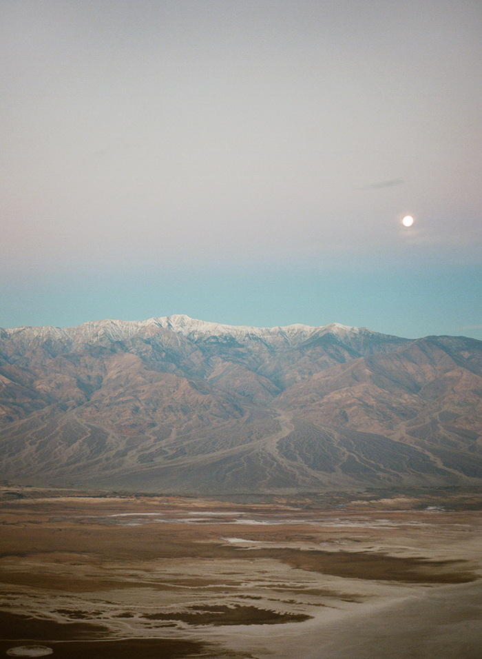
15. Dante’s View. It’s a little out of the way, so leave ample time to get here, and expect lots of switchbacks up the mountain. Dante’s View is at an elevation of 5476’ and quite a bit chillier than the rest of the park (though I’m sure that’d be welcomed on the hot summer days!). From here you can see much of the southern valley including Badwater Basin and Devil’s Golf Course. There are also social paths around this area, so get out of your car and hike! Also, be sure to visit at sunset if you get a chance. I had been to Dante’s a couple times, but I was simply blown away at sunset. If you only have a chance to watch one sunset, I would recommend doing so here.
BONUS:
I haven’t hiked these yet, but Wildrose Peak and Telescope Peak are next on my list! These hikes can be snow packed until as late as June so plan accordingly.
Did you enjoy my Death Valley Travel Guide? Check out my other guides here!